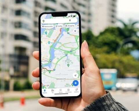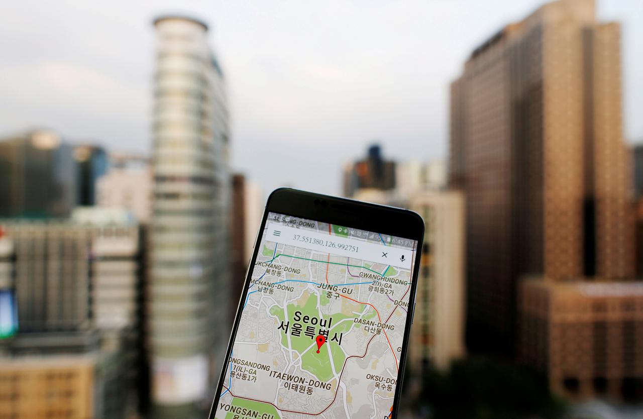


Google announced that Google Maps will now highlight coronavirus case counts around the world and how bad outbreaks are in each region. They’re introducing the COVID layer in Maps, a tool that shows critical information about COVID-19 cases in an area so you can make more informed decisions about where to go and what to do. The feature is rolling out for iPhones and Android phones this week. Once you get the update, you’ll be able to use the new feature.
More than one billion people turn to Google Maps for essential information about how to get from place to place–especially during the pandemic when safety concerns are top of mind. Features like popular times and live busyness, COVID-19 alerts in transit, and COVID checkpoints in driving navigation were all designed to help you stay safe when you’re out and about. Now Google is introducing a tool that shows critical information about COVID-19 cases.
Google Maps has already had a number of coronavirus-related features, including information about testing centers, driving alerts about Covid-19 travel restrictions and alerts about any potential impacts on public transit, including mask-wearing mandates. In addition to the platform’s pandemic-related features, Covid-19 also forced Google Maps to change its models for predicting traffic and the best driving routes, as the pandemic and ensuing lockdown measures have significantly impacted traffic worldwide, Forbes reported.
The layer is designed to help people “make more informed decisions about where to go and what to do,” wrote Sujoy Banerjee, a Google Maps project manager. Public health experts and the Centers for Disease Control and Prevention (CDC) recommend that people keep track of the amount of COVID-19 spread in their area to figure out the risk of certain activities. Transmission rates in local communities is important for parents to consider when deciding if they should send their kids to school and for families to monitor in advance of any holiday plans, according to The Verge.
The feature is rolling out for iPhones and Android phones this week. That means you might not see it today, but you should in the coming days. Just keep looking for a Google Maps update. Once you get the update, you’ll be able to use the new feature by opening Google Maps, tapping the layers button which looks like a square on top of another square, choosing the “Covid-19 Info” layer and then you’ll see a map of cases around the world, color-coded by severity, as CNBC wrote.
Color coding on maps indicates the density of new cases: Gray indicates no cases in a given region, with yellow representing 1-10 cases, orange 10-20, dark orange 20-30 cases, red 30-40 cases, and dark red indicating more than 40 cases per 100,000 residents. Trending data is visible at the country level for all 220 countries and territories that Google Maps supports, the company said, along with state, county, and city-level data where they’re available. Google says the figures come from multiple sources – including Johns Hopkins, Wikipedia, and the New York Times- that are in turn pulling data from medical centers, state and local governments, and the World Health Organization, as reported by Daily Mail.
Many of these sources already power COVID case information in Search, and company is now expanding this data to Google Maps. While getting around is more complicated these days, they say that their hope is that these Google Maps features will help you people where they need to be as safely and efficiently as possible.
On a brighter note, Google has also introduced a very interesting app last month. Google has recreated ancient creatures with help from Augmented Reality (AR) that can be viewed freely in your room on your smartphone. You will be able to view prehistoric ancient animals through the app – Google Arts & Culture application. If unusual critters aren’t your thing, Google has also recreated a collection of unusual cultural artifacts for you to experience in AR. Historical items include figures from the Aztec empire, a golden ceremonial hat from Berlin, dated around 1000BC, and cult objects from the Old Temple at Chavín, Peru