Thursday is a WAVE 3 News Alert Day as hazardous heat continues. Peak afternoon heat index values will be between 104-107° with air temperatures in the mid to upper 90s. Thursday night’s storm chance is low as storms trying to move in from the north will likely fade out before they arrive.
Friday is expected to be highs in the mid 90s and heat index values in the afternoon in the 102-105° range. Storms will fire up in the afternoon along a cold front, but not all areas of WAVE Country will see them.
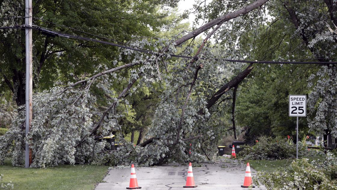
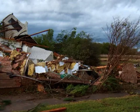
Heat and humidity broiled parts of Indiana, Illinois, Michigan and other midwestern states Wednesday while storms accompanied by heavy rain bowled over trees and flooded roads.
Thousands of homes and businesses in western and northern parts of Michigan’s lower peninsula remained without power following damage to power lines.
Wind gusts reached about 70 mph in some areas, including the Dorr area south of Grand Rapids, toppling trees, limbs and power lines. Winds of between 30 and 50 mph were reported across a larger area.
Some downtown streets in northern Michigan’s Traverse City were flooding while some roads in Antrim County were washed out, according to the Traverse City Record-Eagle.
“We have lots of washouts on both sides of Torch Lake we are finding this morning,” County Road Commission office manager Dale Farrier told the newspaper Wednesday morning. “We’re still assessing damage. Now that it’s daylight we are finding more and more spots.”
Jackson, Michigan-based Consumers Energy reported nearly 170,000 of its customers were without power as of 11 a.m., while Great Lakes Energy said it had about 16,000 customers in the dark.
“Mother Nature delivered a powerful punch to Michigan,” Consumers Energy Vice President for Electric Operations, Guy Packard said in a news release.
The utility’s crews would be “working around the clock this week to turn the lights back on for everyone who was affected by this devastating storm” but urged customers to be patient, noting that additional storms are possible Wednesday night, he added.
Indiana Michigan Power said more than 27,000 homes and businesses had been without electricity at the peak of the overnight storms. About 17,000 customers lost power after two feet of water flooded a substation in southwestern Michigan.
Utility poles have been found broken and transformers damaged in the Fort Wayne and South Bend areas of northwestern Indiana, according to the utility.
About a dozen storage units outside a Muncie, Indiana, warehouse were ripped from their foundations by the strong winds, the (Muncie) Star Press reports.
“We heard something strange, it made a lot of noise,” said Patricia Hellis who owns an antique mall adjacent to the storage facility. “Then the lights started flickering and the doors were blown open … I had to lock them shut.”
“The main thing is nobody got hurt … but a lot of people lost a lot of property in those warehouses,” she added.
The National Weather Service in Grand Rapids, Michigan, forecasts that more thunderstorms reaching “severe intensity” could hit the state Wednesday night into Thursday morning ahead an approaching area of cooler, less humid air.
The National Weather Service has issued heat advisories for the Chicago area, much of Indiana and the Detroit area where heat indices up to 100 degrees Fahrenheit were expected.


